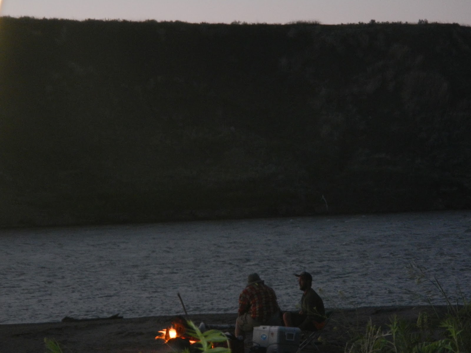
Sakakawea is a man made lake around 162 miles long varying between 2 and 5 miles wide. The Missouri River enters it from the west and it is dammed in the east. As the river slows it drops its sediment load and hundreds of marshy muddy islands are formed, some covered in shrubs and dead vegetation that grew in the years when the water was low and died when they became water logged in high water years. Navigating through the western end of the lake is problematic as the mud islands shift and new channels are formed, some leading nowhere. Best advice from those that know the lake is to stay in the main channel even though it may appear to take you away from your intended destination.
Stay in the main channel I did as I made my way to an established campground called the American Legion Park where I intended to order the biggest cheeseburger on the menu and enjoy it with a couple of ice cold beers; I arrived around 7:30 in the evening to find it closed or more accurately not yet open for the season. I resorted to Plan B and had Macaroni Cheese which I hadn't had for at least 24 hours. I camped under the cover of their fully covered basketball court well sheltered from any overnight rain and enjoyed not having to put up the tent.
 |
| View across the mud islands from American Legion Park boat ramp |
In the morning I weaved my way back and forth following the main channel until I came to open water. I stayed on the north shore and battled a headwind until I came to the Lewis and Clark Park a very neat, tidy and sheltered campground and marina.
I decided to stay the night and make an early crossing in the morning if the waters were calm. I met Jerry the camp Groundsman who chauffeured me to the store and back as I seemed to be the only one there without transport. Jerry is from Michigan State and works the summer season at the park each year and then goes back home to be near his grandchildren for the winter.
 |
| Jerry the camp Groundsman |
I got talking to Leroy and Joanne from Williston who had booked into the park for the 4th July week. They were well set up with their fully equipped RV that can tow a trailer and a car - apparently a triple is legal up to 56 feet. Leroy was preparing his camp fire to cook over the coals and invited me to join them. Hotdogs, ice cold coke, fresh fruit and vegetables and salsa dip around the camp fire with good company was a great way to spend the evening.
 |
| Leroy and Joanne from Williston ND |
Leroy is a retired school teacher/administrator and sports coach and Joanne Manages the Fred and Clair Eckart Foundation, a not for profit organisation that provides care, accommodation and support for 'at risk' kids between 12 - 18 years of age.
A couple of years ago they scored a trip to Australia when Leroy was asked to coach a local team playing in the Golf DownUnder Challenge. The tournament was in Queensland so they got to visit the Barrier Reef, a highpoint they said in their travels so far. Wonderful people, I enjoyed my time with them.
 |
| Beautiful undulating shoreline of Lake Sakakawea |
Seven o'clock in the evening and I'm invited onboard a pontoon boat to share a beer and roast beef and horseradish sandwich. These guys were just out relaxing, eating and drinking and enjoying the calm weather as I was paddling my way to New Town where I hoped to re-supply. The pontoon boat was like a lounge room on floats - very comfortable. Jodie (with the smiley face tee-shirt) phoned a friend at the New Town Casino Motel and secured me a room, I set off with 2 hours to get there but unfortunately I didn't arrive until after 10pm and found nowhere to safely leave the kayak so another night was spent in the tent. It was the weekend before July 4th so fireworks were being let-off throughout the night - apparently they're still legal in North Dakota.
 |
| The good ship "Jodie" |
 |
| Heading to New Town ND |
I met Greg Johnson when I crossed over the lake to New Town Marina, he offered me a shady spot on his lawn to set up my tent for the night as there were no shoreline campsites at the Marina. Greg and his wife Cathy own a holiday home right on the water with a deck that overlooks the bay. Greg gave me a lift to town to shop and do my laundry. I returned to find the weather was good enough to get a few more miles in. I thanked them for their offer to stay and reluctantly said goodbye and headed off with a slight tail wind that pushed me about ten miles down the north shore. Greg gave me a hat and pocket hunting knife as a memento of my visit to New Town - much appreciated.
 |
| Doug with Cathy and Greg Johnson |

 |
| Cattle cooling off in the shallows |
Another late lake crossing and a surprise meeting with a couple who stopped to see if I was OK. I was, just resting in calm water about a mile off shore on my way to round Beacon Point to find a sheltered camp site for the night. They offered, and I accepted, an ice cold beer that was a real treat after a hot 35 mile day.
 |
| Neva and PJ - lake angels |


 |
| The Barbara May enjoying a well earned rest |
 |
| Early morning visitor |
 |
| One of countless sheltered bays on the lake |
The setting sun on beautiful Lake Sakakawea .........


Indian Hills Campground - Lake Sakakawea


It's the 4th July and I'm spending a lazy day at Indian Hills, a very picturesque friendly campground on the north shore of the lake with nice clean facilities. Hoping for an early start tomorrow to cross the lake for the last time and get a portage around Garrison Dam and back in the fast flowing Missouri River.
Here's a family that can recognise a hungry kayaker a mile away. Corine and Bob invited me to stop and share there lunch, they are ex farmers who leased there property when times got tough and now support the oil industry supplying plant and equipment.
 |
| Bob, Corine and family |